Yash Solutions offers comprehensive survey services let’s meet our team and feel comfortable experience.
LAND SURVEYING
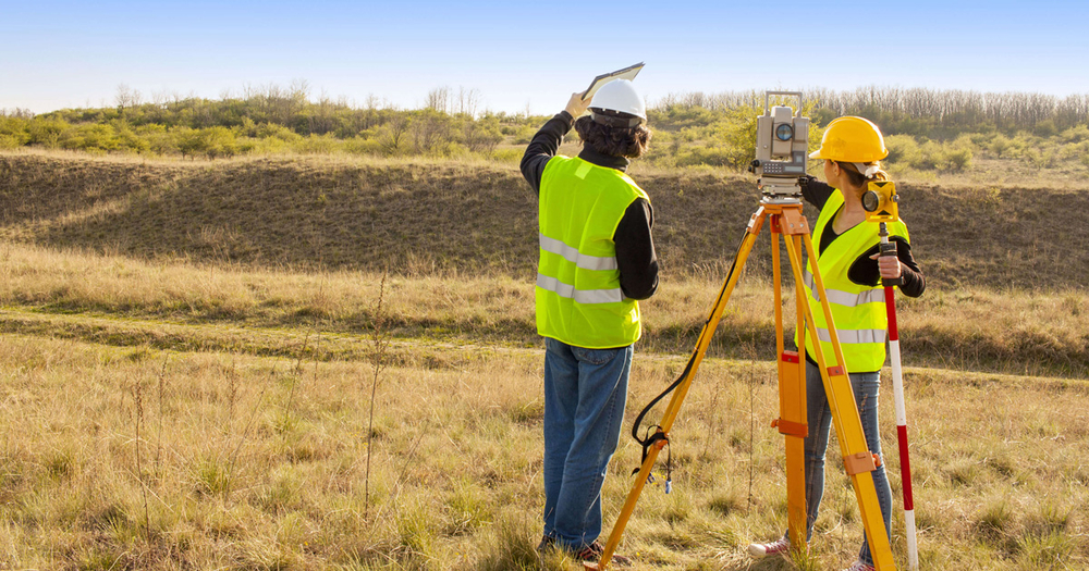
We use advanced equipment and technology to ensure precise measurements and results. Our surveyors will measure the physical features of the earth and terrain around your property/site to define and establish land boundaries. This plays a vital role in the planning and construction of infrastructure.
We provide crucial and extensive information on a range of on-site characteristics such as contours of the land, vegetation, buildings, services and roads which creates a strong foundation for the future success of any project, large or small. Our surveys are designed to meet all the needs of developers, engineers, architects and builders.
Topographical Surveys Volume Surveys GNSS Lease plan & registry plans
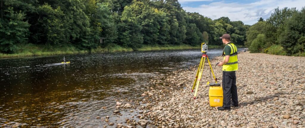
Survey Operations are one of the Sri Lanka’s largest providers of data for river modeling and flood relief mapping studies , with individual projects ranging from a few hundred meters to over 100 kilometers. We are Yash Solution’s have highly experience team for working with waterways.
In addition to standard river profiles, we are continually developing special stations to resolve our client’s surveying needs. Having previously refined methodologies for river structures, irrigation canals structures, fast-flowing and culvert sections of watercourses, survey sections in dangerous river locations.
Working in Yash Solution’s with our specialist survey and hydrographic teams has enables our river surveyors to provide a unified approach to the production of high quality, contract correct deliverables.Contact Survey Operations today to enquire about River Surveys.
Cross Sections River Modelling Threshold Surveys Flood Data Recording